Ever hopped in the car, punched in an address, and arrived at your destination with barely a glance at a map? That magic is thanks to Sat Navs, our modern-day travel superheroes. But how exactly do these devices work their wonders?
This guide will be your roadmap to understanding Sat Navs, from unravelling the science behind them to exploring their many uses and helping you choose the perfect one for your adventures.
What is a Sat Nav?
Sat Navs, short for Satellite Navigation Systems, are our modern-day travel companions, guiding us through unfamiliar roads and helping us reach our destinations efficiently. But how exactly do these devices work their magic? Let’s delve into the world of satellite navigation and answer all your burning questions:
How does satellite navigation work?
Imagine a network of satellites orbiting the Earth, constantly transmitting signals. Your Sat Nav receiver picks up on these signals, which include the satellite’s location and the exact time it sent the signal. By measuring the time difference between receiving the signal and its original transmission, the receiver calculates the distance to that satellite.
How do Sat Navs know where you are?
With signals from multiple satellites (usually four or more are needed for optimal accuracy), your Sat Nav performs a bit of mathematical wizardry called trilateration. This fancy term essentially means it uses the distances to each satellite to pinpoint your exact location on Earth (latitude, longitude, and altitude).
How does a GPS know your speed?
While Sat Navs can display your speed, they don’t directly measure it from the satellites. They cleverly calculate your speed by tracking your changing position over a brief period.
What is the difference between a Sat Nav and GPS?
“Sat Nav” is a general term for any navigation system using satellites. GPS (Global Positioning System) is a specific satellite constellation developed by the United States. While a GPS tracker is the most widely used system, there are others like Galileo (Europe) and BeiDou (China). So, all Sat Navs likely use GPS or another global navigation satellite system (GNSS), but not all GPS receivers are Sat Navs (think handheld GPS units for hiking).
What are the uses of a navigation system?
Sat Navs offer a treasure trove of benefits beyond basic navigation. They can help you find points of interest (POIs) like petrol stations, restaurants, and ATMs. Some even offer real-time traffic updates to help you avoid congestion and reroute if needed.
How did people navigate before GPS and satellites?
Before the age of satellites, people relied on good old-fashioned paper maps. These trusty companions required planning and route memorisation beforehand. “A to Z” map books, with detailed street listings, were a common sight in cars. Drivers would write down reference notes, motorways and junction numbers, and stick them on the dashboard for quick reference. Needless to say, navigating back then involved a lot more stopping and consulting the map, making journeys considerably longer.
What are the best Sat Navs?
The “best” Sat Nav depends on your needs and budget. Built-in car systems offer convenience but might require periodic updates (see below for how to update them). Standalone Sat Nav for cars offer more flexibility and portability but might lack the integration of car systems, such as a Garmin Sat Nav and TomTom Sat Nav.
How to update a built-in car Sat Nav?
Most car manufacturers offer updates for their built-in Sat Nav systems. The update process typically involves downloading the update data onto a USB stick and plugging it into your car’s designated port. Refer to your car’s manual or the manufacturer’s website for specific instructions on updating your system.
What are the best Sat Nav Apps?
With so many sat-nav apps on the market, it can be difficult to decide which sat-nav is best suited for your needs. Which one to choose – paid or free? Well, worry not, because Stoneacre is here to guide you through the best sat-nav apps to make any journey a breeze.
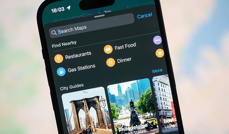
Google Maps
Google Maps is a free, user-friendly platform that helps navigate the physical world. Users can explore locations with detailed satellite imagery and street views, while features like turn-by-turn navigation with live traffic updates ensure they reach their destination efficiently.
Google Maps boasts high accuracy, constantly updated by user contributions and Google’s own data collection methods. With its intuitive interface and comprehensive features, Google Maps empowers users to explore and travel with confidence.
Google Maps is pretty straightforward; just input your destination and press ‘Directions’ and it will show you the quickest route. The app utilises a combination of satellite imagery, GPS data, and crowdsourced information to provide real-time navigation, detailed maps, and accurate directions to users around the world.
Plus, there are many hidden tips & tricks, that you can read here.

Apple Maps
Apple Maps was launched in 2012 and offers users detailed maps, turn-by-turn navigation, and real-time traffic updates, providing a seamless and intuitive experience across Apple devices.
Since the initial release, it did not have good feedback – many users reported incorrect or misleading directions, almost no support for public transportation and numerous errors. But today, Apple Maps has undergone significant improvements, including enhanced mapping data, improved accuracy, expanded coverage, and the addition of features like indoor maps, public transit information, and a smoother user interface, making it a more reliable and comprehensive mapping solution.
Unlike Google Maps, Apple Maps is not available on Android phones.
Even though it is not as accurate as Google Maps, Apple has done well to redeem itself from its initial struggles and now offers a fairly solid sat-nav app. Apple has done well to redeem itself from its early struggles and now offers a fairly solid sat-nav app.
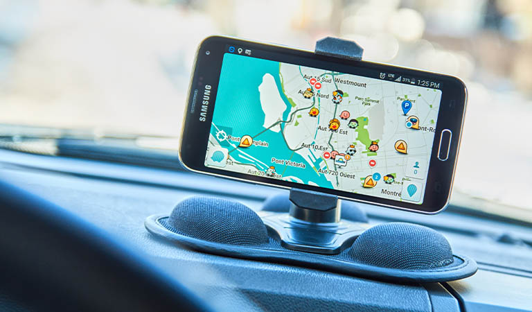
Waze
Initially launched in Israel in 2008, Waze has become a popular navigation app for drivers in the UK. Unlike traditional sat-nav systems, Waze boasts real-time traffic updates thanks to its clever community-based model.
By anonymously reporting accidents, slowdowns, and even police traps, Waze users work together to give everyone the most accurate picture of the roads. This can help you avoid congestion and reach your destination faster.
While the app itself is free to download and use, keep in mind that you’ll need a mobile data plan to benefit from all its features.
Overall, Waze offers a user-friendly interface and is a great option for drivers who want to outsmart traffic and get the most up-to-date information on their journeys.
Here WeGo
It was initially released back in 2012 and developed by Nokia. Previously exclusive to Nokia-only phones, the app was not as well-known as Apple Maps, Google Maps and Waze before it was released on iOS and Android. In addition to providing sat-nav features for driving, it also offers public transportation information. Like Google Maps, you can download the maps beforehand to avoid using mobile data.
In 2023, the Here WeGo app continued to impress users with its remarkable accuracy and reliability. With regular updates and enhancements, this navigation application became an indispensable tool for millions of users worldwide. Here WeGo excelled in providing precise and up-to-date mapping data, ensuring that users can confidently navigate their surroundings with ease.
The app now incorporates real-time traffic information, offering optimal routes and alternative options to avoid congestion and minimise travel time. Additionally, Here WeGo integrates public transportation schedules, allowing users to seamlessly plan their journeys using a variety of transportation modes.

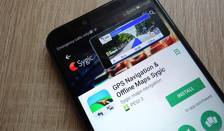
Sygic GPS Navigation
This Slovakia-based sat-nav app has a good reputation – a 4.3/5 rating on the Google Play store from more than 50M users. They have paid and free plans – Sygic also offers a 7-day trial to test all of the features. After that, you can use basic app features for free, but if you want to open up the advanced features, then it’s time to upgrade.
It is available on both Google Play Store and Apple App Store. Sygic collects data from TomTom Sat Nav Traffic, while the app is being updated every two minutes thanks to its user-rich database of 400 million drivers.
However, the app isn’t without its faults – people reported problems with POI feature where they don’t get enough information about locations and street names. Furthermore, Sygic only updates its maps four times a year which can cause problems since some of the maps were found to be out-of-date.
So, there you have it! From understanding the science behind satellite navigation to exploring its various uses and navigating the world of Sat Nav options, this guide equips you with all the knowledge you need to conquer any journey. Now, buckle up and let your Sat Nav be your trusty guide!


